FCSA says it is supporting UAE society with new GIS initiatives
FCSA creating a centralised geospatial database, a UAE SDGs data hub, and an Enterprise GIS Portal for internal users and external governmental entities
The Federal Competitiveness and Statistics Authority (FCSA) has demonstrated its commitment to supporting UAE society through the development of innovative Geographic Information Systems (GIS) initiatives, which leverage world-class GIS technology from Esri.
FCSA is creating a centralised geospatial database, a UAE Sustainable Development Goals (SDGs) data hub, and an Enterprise GIS Portal that will let internal users and external governmental entities have access to detailed statistics and survey outputs on geospatial dashboards, insights, story maps, and web applications.
The implemented systems are integrated with national statistics and survey databases to geo-enable the data, making it easier to understand and analyse.
As part of this important endeavor, FCSA has recently launched its national mapping system, the 1Map Platform.
This platform provides one site for each of the FCSA’s core statistical sectors: health; education; tourism; and the environment. Each site serves as a one-stop page to equip community members, governmental entities, and FCSA staff with all related maps, coupled with statistical indicators.
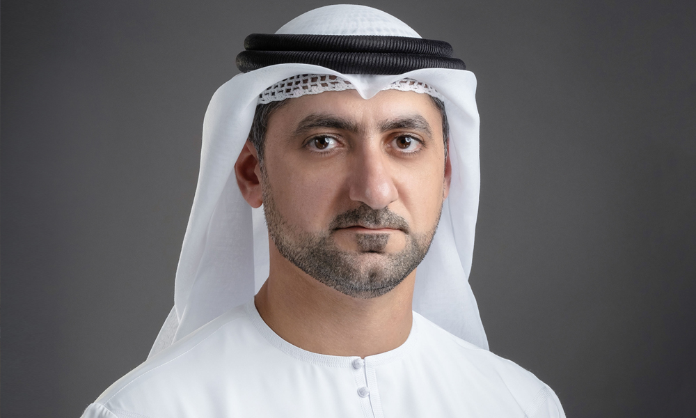
HE Mohammed Hassan Ahli, executive director of Statistics and National Data, said: “The 1Map Platform will provide national authoritative maps and information for various Community’s facilities and combines geospatial and statistical data to support national planning and decision-making. This is enabled through establishing a Government Information Sharing (governmental data collaboration) across decision-makers, data analysts, planners, and community members.”
Commenting on 1Map Platform’s benefits, H.E. Mohamed Hassan, added: “The importance of the 1Map Platform lies in its ease of use, which provides great benefits to decision-makers, researchers, and students through a smart display of information and interactive maps that can be consumed easily and effectively.
“Through 1Map GIS initiative users can access the UAE Health Facilities Locator, UAE Educational Facility Locator, wide-ranging statistics on foreign trade, a map of administrative boundaries, and demographic dashboards containing maps for household statistics on a sub-district level, as well as other useful services. This is just a start, as FCSA has an extended future roadmap for the 1Map Platform to cover further diversified areas that serve our society.
“FCSA believes in the added-value of the private sector in being a strategic partner in serving the community. Khatib & Alami (K&A), a leading Geospatial Systems Integrator and Esri Platinum Business Partner, provided an important role in supporting FCSA Team in the achieved innovative GIS initiatives.”
Faisal Alami, K&A EVP, added: “K&A is honored to have worked with FCSA as one of the most strategic clients in the UAE and the Middle East region. Through its commitment to leveraging GIS technology, the FCSA is adding a huge amount of value to serve the community. We are eager to build a robust and continuous relationship with FCSA by providing our full capabilities to support such innovative initiatives.”
Under 1Map Platform, FCSA has successfully covered different areas that can be summarised, as follows:
1Map UAE Health Locator
1Map UAE Health Facility Locator summarises the indicators related to health facilities, like bed capacity and health staff, as received from the UAE Ministry of Health and Prevention (MOHAP). Within the COVID-19 pandemic situation, it helps the public to locate more than 5,500 hospitals and medical centers across the country’s seven emirates, including the recently launched COVID-19 screening drive-through centers. https://fcsa.maps.arcgis.com/apps/webappviewer/index.html?id=37e46a68a61b43559266ac56377efaea
1Map UAE Education Locator
1Map UAE Education Facility Locator is used to locate elementary and secondary schools, as well as nurseries in the UAE. The search results are associated with school details, including school type, curriculum, grades, gender, name, location, etc. https://fcsa.maps.arcgis.com/apps/webappviewer/index.html?id=8bce678f2d04479db9848725e0d7fddd
Foreign Trade App
The Foreign Trade App is a smart interactive dashboard that displays UAE’s total foreign trade, including imports, exports, and re-exports statistics. The dashboard shows trade trend from 2001 – 2018, in addition to the top countries, and the value of commodities.
UAE Urban Growth through Night Lights and Satellite Imagery
The satellite images of Earth at night, referred to as “Night Lights”, are satellite images capturing night light areas, rather than individual buildings, telling a story of growth in major roads and infrastructure.
This data story seeks to capture patterns of growth and development in UAE’s urban life, using different types of satellite imagery from 1972 to 2020 and then comparing growth in selected national statistical indicators with growth at night light areas.
UAE Administrative Boundaries (UAE Basemap)
1MAP Basemap represents UAE consolidated administrative boundaries, including Municipalities Data, Districts, and Communities.
Demographic Dashboards
This includes Census 2005 Dashboard, which represents statistics and maps for households derived from Census 2005 on a sub-district level. Population estimates dashboards are also included for recent years.
FCSA’s recently launched 1MAP Platform can be accessed via the following link: https://geostat.fcsa.gov.ae/gisportal/home/
